Mitch's Btown Blog

Bikes, Hikes, Music, Mushrooms

Retired boomer, out to walk my dogs, ride my bike, and hike the forest paths around Monroe County Indiana. Recently found ADHD runs in my family, and apparently gallops in me…

  • Both Jojo and I felt the need to pedal some, but it was hot humid August, so on Sunday morning we rode a short early loop down Harrell Road and down Schact Road, then across Walnut to That Road and back up the Clear Creek trail and back to the westside via the new “safecut” from the trial via Countryside and Rogers Rds.

    By the time we got back we were quite hot, ready to hit the water. We grabbed the kayak and canoe and headed for Lake Monroe, putting in at Moore’s Creek. I took the kayak first, as the canoe has a quiet electric motor, and I have been needing the exercise for my rotator cuff problems I ‘ve had for at least a decade. By strengthening my scapular muscles, I’ve been able to realign my neck, which was the source of my arm pain. I had been favoring that arm, not using it as it was painful, which is the opposite of what I needed to do, which is use the muscles, work them so they become toned and resilient.

    Canoe/Kayak pictures

    We paddled out to one of our favorite spots, beached and swam for a while. Then we moved across the lake and into small bay, and we went swimming again. We then crossed over the water again and found some more spots for diving, swimming and floating around. We got back in the boats and headed back, and as we passed a rock outcropping with large bird droppings, a bald eagle took off right over our heads and headed down the shoreline, and then across the bay.

    The clouds kept piling up, as did the humidity, we took a last dip, loaded the boats, and headed home.

  • This Sunday, like most days this August, was hot and humid. We straight out decided to swim at Lake Monroe, but took the long way to Pine Grove, riding south first then east and south.

    We traveled the bike route from the YMCA to Jackson Creek School, then up Rhorer Rd. and down Harrell Road to Stipp, our favorite no brakes hill. It has been closed for many months due to the spring/summer floods that have kept the lake high for months, and going down just to ride back up is a bit masochistic, if not fun. We dipped our feet in water at the Moore’s Creek ramp. Legend has it that my daughter and her high school boyfriend once drove our car into the water here, so it has special meaning…road ends in water!

    We once again survived climbing Schwartz Ridge Road and quickly made to 446, and then on to Pine Grove Road, a mile downhill with a few little hills on the way. We went straight to the boat ramp, and walked our bike around the outcropping of rock that defines the next hollow. We changed into swim suits and hit the water. It was incredible that just a few weeks ago had been diving from rocks that were now 15 feet out of the water and 10 feet from the water. Still, the channel of Salt Creek is right next to the ridge at this place (that’s why they have the boat ramp there, it gets deep quickly.) So we were able to dive, swim and dive as we wished. We eventually got out and as it was late in the day, dried off and changed.

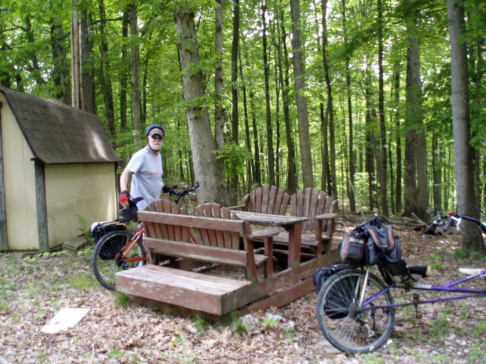
    As we were watched some yakkers launch, we were surprised to see a Conservation Officer (with gun and badge) come around the point. He seemed friendly enough, but he was checking us our for sure. We had our towels and suits drying on our bikes (we had our bikes parked in the woods nearby), and we wondered if he would roust us out of there, we’ve been thrown out of the lake before.

    We chatted a bit, and he saw Jojo was drinking fruit juice (not beer) and eating a bagel. We were just a couple of graybeards, strange with the bikes, but understandable. (He had first asked the yakkers if they had DNR stickers, they did.)

    We headed out after that, taking Knight’s Ridge Rd., a bit longer than SR 446, but much less traffic, noise and sun.) This road is often used by racers in training, we often hear them shouting “On your left”) as they go whizzing by, but not today, it was just too hot.

  • It was a warm Sunday morning and Jojo and Cornish John showed up at the BBC on time, and we quickly made our way out 10th St., riding steadily the highway as there was little traffic. We turned on Tunnel Road, then on Shilo Rd., which runs the forested ridge for nearly 4 miles before dropping 200 feet to the Bean Blossom valley. Jojo works for Wireless Deer Fence on Shilo Rd., check them out, they kept the deer out of my 3 Sisters Garden this year. Here are some pictures of the garden and my corn crop.

    We stopped to watch the Bean Blossom flow by and then rode up to Anderson Road, riding the flat bottoms to Old 37. As luck would have it, we ran into Sue Aquila riding alone and fast in the other direction (we had seen her at the BBC on our way out.) She was on one of her triathlon training rides, and we all stopped and chatted a moment in the middle of the highway!

    John had to get back to town around noon, but Jojo and I wanted to ride longerWe headed back south, and John had to get home to work on his floor. Jojo and I wanted to get in some more time, so while John kept riding on 37, we turned right on Wylie Rd. To our surprise we found the Bloomington model airplane club, and there were dozens of planes revving up and flying.

    Everyone had either vans or trailers to transport their planes, and they all had tools and parts, even built-in workbenches. They all were talking about their planes and the latest tweak they had done, while one or two at a time took off, flew and landed.

    Flyby Pictures

    We climbed the ridge and crossed SR 37, but nothing matches Wylie Rd, on the other side, so we had to travel north on 37 for a bit to pick up Sample Rd, which we took to Bottom Rd. We rode Bottom back south to Bloomington, about 30 miles, and no real sweating. Bean Blossom was really low when we crossed it at Dolan and on Bottom Road. This was a good fast ride, about 30 miles with just 2 climbs, a good ride for a summer morning.

  • I went out about 7:30 to the Mother Hubbard’s Cupboard 1st Annual “Hub Ride”, starting in Karst Farm Park. It’s about 7 miles from town, I went out 3rd St. and cut south to Karst Farm rather than ride on 2nd St, it really feels like a highway, and the cars move fast. There is really no safe or easy way to ride west, the best bets are Tapp Road and Vernal Pike, two of the most dangerous intersections (for motorists) in Bloomington, and out of the way if you are trying to shop in the shops along the west side of SR 37.

    There were plenty of riders and a number took off early to complete the 2 laps making 50 miles. Everything was organized and in order with plenty of great volunteers as usual at a MHC event. I had run over the route on Google Earth and knew there were quite a few hills, and this is the middle of summer. But with the half way stop at Mt. Zion Rd., there was little chance of bonking even in the heat, and I was carrying plenty of water and coffee (and bagels, there was a bunch of good stuff in the registration tent.)

    Full Album of Pictures

    I ran into Jim Manion, and we partnered up to ride the 25 miles route. Jim’s bike was built for comfort, like mine, and we had comparable paces, so we were able to bike and talk, even on the hills, which were never ending. We first came up Bolin Road hill and took a water break while watching others climb this first of several 100 foot climbs. We rode back over to Rockport Road on Tramway and then rode along Rockport, climbing once or twice more before getting to the big climb of the day. Jim dropped his chain right at the bottom, but I continued to the top and waited. Steve Wallace came up on his recumbent with Linda Roos, one of our MHC board members right behind. Jim then came pedaling up, and we continued climbing on past the intersection of Victor Pike to Harmony Road at 920 feet.

    We continued on Harmony Road, and stopped at Mt. Zion Church, where Stephanie had cold water, gatorade and snacks. We continued along Harmony Ridge, and for a mile or three it is newly paved. This made riding down the hill down a real blast, well over 200 feet of drop, smooth and curvy as we descended into the woods.

    After coming through the valley and over the hill at May Road, we rode on into the wide Indian Creek valley, and stopped at the Harmony Church on Isom Rd. In the last century Jim had lived next door where there is now a plant nursery, and Eileen and I raised our kids in a little old farm house a few hundred yards up Isom Road. Jim rode over to see his old house and talk to the current owner. I jumped down into the creek, which was amazingly cool even in mid summer, no doubt this is spring fed. The old church at the corner was the site of “Fort Harmony”, an which was at first an agricultural branch of the New Harmony utopian community. The site became a trading center with the Native Americans, and many artifacts have been found in the fields across from the church.

    We then moved on and climbed the hills on Isom Road that lead to the blind valley where the scenic Sparks farm can be seen from the hills along the road. A final climb out of the valley led to another speedy down hill on Isom. We took the left on Eller, crossed the highway, and climbed Reese hill a dropped onto Garrison Chapel Road. We too that to Airport, climbed that one last hill, and coasted back to Karst Farm Park and some food and music to finish off the ride.

  • Even though I had gone to Meeting first, and the morning was blown, I rode straight out SR 46 to Belmont, it was hairy only when the big boats passed me, but there were a couple of long wagon trains that had to pass me. I took the left on Jackson Creek Road, it climbs a little, then follows along Salt Creek for a while, then winds along Jackson Creek, which flows from Lake Yellowwood. I got to the crossroads where Jackson Creek Rd. ends at Yellowwood Rd. I started north, the all gravel road was hard packed and easy to ride.

    I passed several campsites, and stopped at the ranger station for water, otherwise it would have been a long way to Unionville. The ride up Yellowwood was quiet and uneventful, I had worried there would be a bunch of traffic to the lake, but not so. I saw up close and heard a scarlet tanager, they are a slightly different color of bright red than a cardinal, but with all black wings. I also ran past a pair of red-headed woodpeckers, they flew in different directions from their perch on a wire.

    Yellowwood Rd. climbs gently for about 4.5 miles though the Jackson Creek valley, and gets steep only at the end where it rises to meet Lanam Ridge Rd. As usual, riding on the rough roads took more out of me than smooth asphalt, so I ate the last of my Clif cubes, drank some water, and started back. If you stay on SR 45, it is about 17.5 miles back to town, and for a while I followed a hay wagon, it sure made the cars slow down before passing. But I got tired of the slow pace and finally passed just as I left Brown county. I decided to go back via Mt. Gilead to Kerr Creek, it is just a mile or two longer, and much less stressful, just a few cows, buzzards and fellow bikers rather than car traffic. I think the whole deal was between 35-40 miles, with about 7 of those on gravel, so all in all a good trip, not exhausting, but definately tiring, in a good cleansing way.

  • Tim and I went out about 3:30 pm my favorite loop Lake Monroe. It was sunny all morning, but by the time we left, there were dark clouds and thunder. We followed the bike route south from the YMCA to Jackson Creek School, then east on Rhorer Rd. We were right on the edge of the dark clouds, which were headed southeast. We felt some sprinkles, but the clouds were moving faster that us, and we did not really get wet.

    When the lake is not so high, I ride along Rohorer Road, and then turn south on Harrell Rd. to Stipp at Handy Road, this adds two miles to the loop, and the ride down Stipp Rd. is great, no brakes needed. It also pushes the loop to 21 miles, so when possible it is the preferred route

    But the lake is still 14 feet above the normal pool level, and there is no getting through, the bridge over Moore’s Creek on Stipp Rd. is in under water.

    On Moore’s Creek we passed one of the great barns in the county, and then went on past Schwartz Ridge Road to see the flooded road. We went back to Schwartz Ridge Rd. and headed up, but before I could even get my camera out for a shot, Tim was near the top and pedaling hard. I arrived a few minutes later, I usually make it all the way without a stop, but not at the pace Tim set. He said he had to push to keep going, I have much lower gears that allow me to travel about 3 mph going uphill.


    We rode back to town by first riding south to Knight’s Ridge Road at Pine Grove, and then back north to town. Knight’s Ridge wind back and forth on either side of SR 446, and although it is about .4 mile longer, the ride is much quieter and relaxing. We rode the Polly Grimshaw Trail back west to town and benefit dinner at Nick’s for the Mother Hubbard’s Cupboard.

  • It was Saturday at the Market, and Jojo said Dean and Dee were having a party at their house at the very southern edge of Monroe county across the causeway, so we decided to ride our bikes out and back, a little over 40 miles total. We most often ride some sort of loop, but in this case it would have meant 3 big climbs (the Alps, the dam, and Ramp Creek), so especially after being at the party and playing frisbee and bocce ball, we decided on the easier route straight back on 446.

    Lawrence County Ride
    Lawrence County Ride
    Lawrence County Ride

    The sun was just dropping below the ridge as we set out, and we could see it again once we climbed the hill back onto the forest ridge south of Lake Monroe. We rode Chapel Hill back to 446 and then to the causeway in no time, this is easy biking. The ride out of the Salt Creek valley after crossing the causeway is long, it is never too steep. The run from the top of the hill to Pine Grove Road is the hardest as there is little room on the side of the road, and there are a number of small climbs that slow your down. From there it was easy riding on Knight’s Ridge Road, and we got home just after dark.

  • I left work right at 5 pm Monday (usually it’s 6 or 6:30), and scooted on home to grab a snack and head out for Pine Grove Boat Ramp, I want start pushing up my weekly average, and this would get me to 75 miles for the week with my commuting.

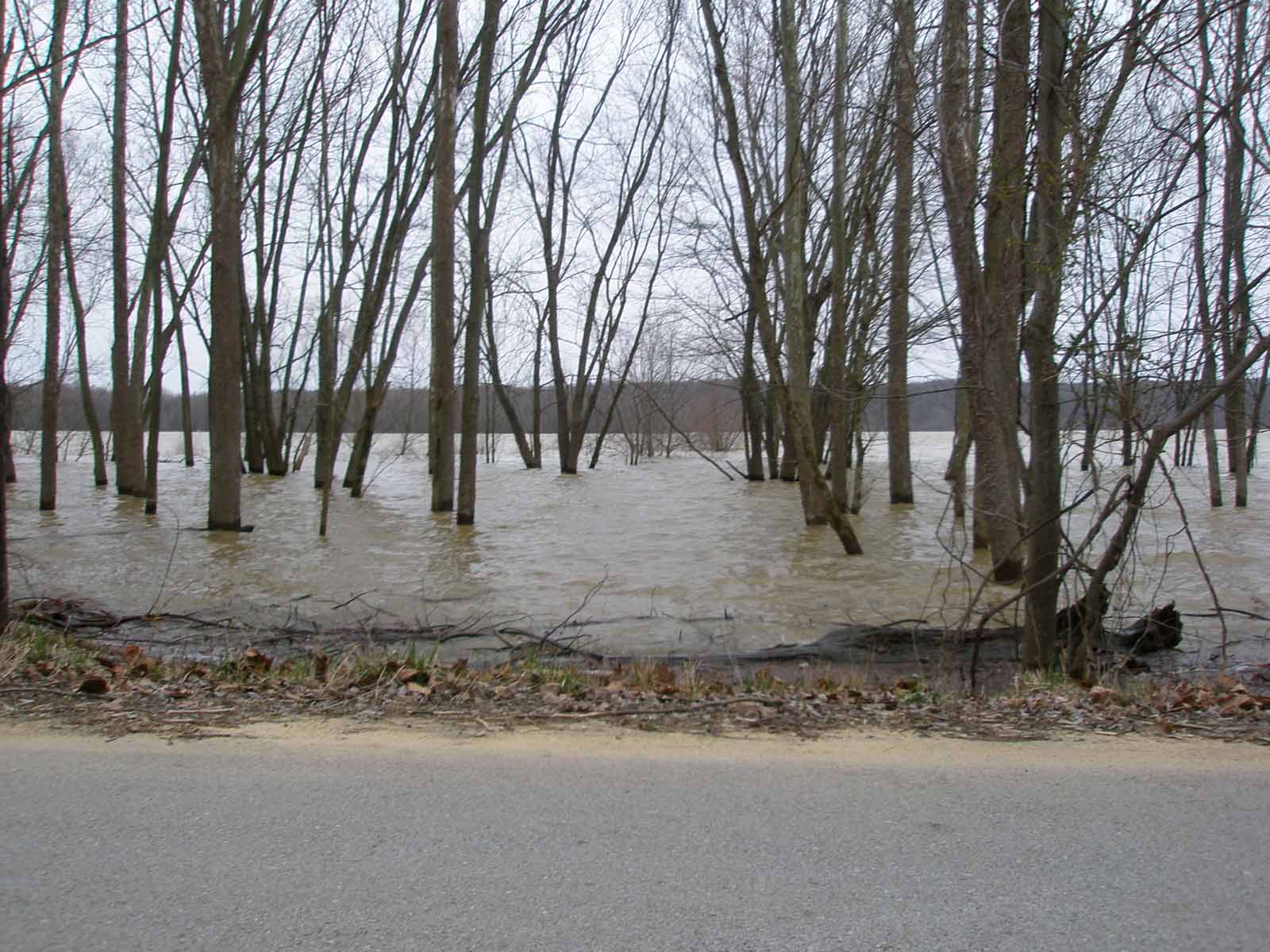
    It’s an easy 10 miles to the ramp, I use either the middle route (Covenanter east through through to 446 at Moore’s Pike, or on the Polly Grimshaw Trail to 3rd St. and 446). I always ride on the winding Knight’s Ridge Rd. which parallels the highway, which has a plenty of room to ride, but just feels less safe and is not as scenic. I just turn left on Pine Grove Rd, just past the log church. This road can be quite gritty, so I took it easy coming downhill using my brakes softly. The last steep part at the bottom is safe, so I got up to 36 mph heading into the flats, which had water on both sides another couple of inches and the road will be covered as it is on Stipp and Moore’s Creek Rds.

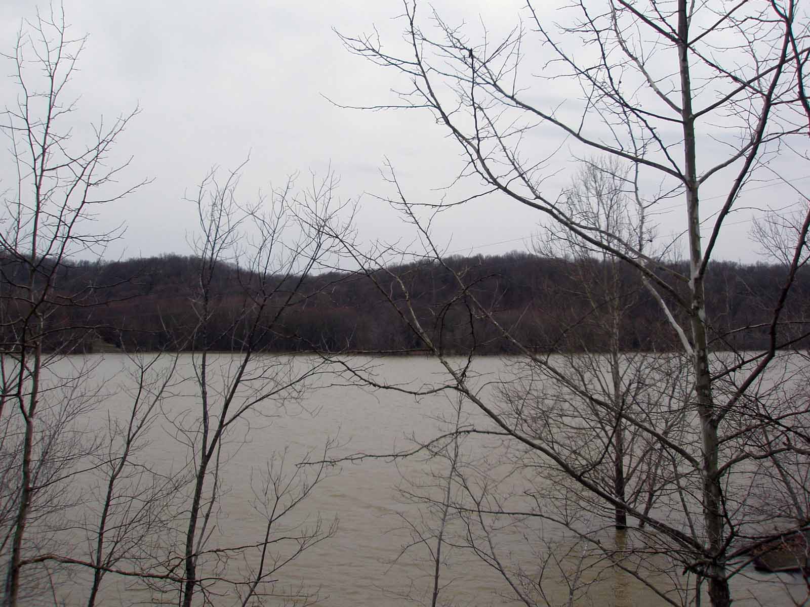
    At the ramp, the water was so high there was no shoreline to walk along, and across the bay water was right up to the trees. Just a few months ago we walked most of the way east to the ridges, no water there but the channel.

    OLYMPUS DIGITAL CAMERA

    The climb back up Pine Grove Rd. always gets me warmed up after standing around by the water, it comes in several stages with flat areas in between.

    Nature notes: Cool gray evening, no large birds other than a buzzard, and a few woodpeckers in the woods. I am thinking of getting some bird recordings for my ipod, I want learn some new calls, you just can’t see everything.

    OLYMPUS DIGITAL CAMERA
  • May 12, 2007
    Route: Clear Creek Trail to Rockport Rd., Rockport to That, That to Leonard Springs (stop at Springs). Back to Eller Rd, Eller to Garrison Chapel, north to Gardner, over the ridge on Gardner to SR 43, north to Whitehall and east to Vernal Pike, and back to town.

    Miles: 38, 11.5mph

    Weather: perfect, hot till we got to the springs and cooled off, then after 5pm, a wonderful light cool breeze.

    Nature sightings: A large hawk, a redtail, or perhaps a northern harrier, flew right over us on Vernal Pike, while being harrassed by a gang of smaller birds, who kept dive bombing the hawk. Leonard Springs, even after several weeks of dry weather, was flowing freely, the waterfalls were all splashing, and the water was cooling. Surprisingly the mossy green stuff that grows in the rocks in the stream was not at all slippery, and the water itself unbelievably clear, the ony taste being the mineral content.

    Shirley SpringsDouble Falls at the springsWide falls at Shirley Springs

    There is a lot of relatively flat karsty territory out west of Bloomington, perfect for raising (longhorn) cattle.

    Hoosier LonghornCow fieldMustard Field

    Vernal Pike is perhaps one of the eastiest returns to town after a long trip, a bit of a climb to get across 37, but nothing compared to Mt. Gilead, Kerr Creek, Schwartz Ridge or Bottom Rd. You gradually ride out of the Richland Creek Valley, quite idyllic (except for the PCBs down stream from Conard’s Branch.) When we got to Loesch Rd, we found Vernal Pike closed due to the renovation of the bridge, looks like a month or so more before it opens (you can get across, but it is not easy.)

    Silo on Vernal PikeVernal FarmhouseVernal Pike closed

  • April 15
    We started at Jojo’s house on the westside, headed south past Jackson Creek to Rhorer Rd, then up the hill east to Harrell, then south to Moffit. We headed east past Handy, and on to the hill. This was the first time down Stipp hill on the new bike, which is normally a 40 mph hill if you just coast and don’t use brakes. So I hammered down the hill and pedaled hard as I came around the steep little curve at the bottom. I checked the speedometer later, I had hit 58 mhp and that was a first run with both saddlebags on.

    The air was clean and the clouds came scuttering across the sky in great billowy masses with a cool 25 mph hour NE wind. We both had extra coats that were superfluous in the sunshine. We climbed Schwartz Ridge and rode to 446, where we headed south to Pine Grove. I again pedaled all the way down the hill, Jojo has the advantage climbing, so I sometimes I have to use my advantage going down (besides it is fun)!

    We took a small dirt road to the lakeside and ate some food. We watched for birds, as we were near where we saw the tree sparrows last week. So we were quiet, and Jojo spotted an immature bald eagle over the far ridge. As we came down the hill a large hawk flew with us for several hundred feet, and landed in a large tree ahead, then took off across the lake. But perhaps the best find were the blue heron tracks we found in the mud, there was no mistaking them. I uncovered a little spring/seep that flowed into Lake Monroe, and we were impressed by the the lake level from several weeks ago, at least six feet above the present height. We finally headed out and up the hill, and scooted back old 446 and home.

    Total Miles: 40
    Weather: 50 degrees with massive fluffy clouds that blew away for clear blue sky at sunset. 25-35 mph winds. Some folks told us to look out for the wind, but on the lake it was nothing like last week when we saw whitecaps and it felt massively cold.
    Sightings: Eagle, hawk, buzzards, heron tracks and a clear spring.