This Sunday I was out for 6 great hours, and covered about 40 miles, at least 10 of them on gravel. I rode straight out 3rd St, and followed SR 46 all the way into Brown County with almost no cars to harass me. On Sunday morning, very few people are traveling away from Bloomington and there is about a foot and a half of asphalt to the right of the painted line, it allows cars to pass with out leaving their lane.
Crooked Creek Road is a fast 14 miles from the Kirkwood gates, via the highway, and a few miles longer and slower when I take the half gravel “lowway”: Lampkins Ridge/Friendship/Kent/. I took Lower Schooner once I made it to TC Steele Road. There is some climbing, but nothing big, and it is just a tenth of a mile longer than the highway, plus few cars and a great view of Salt Creek, just as the road climbs the ridge.

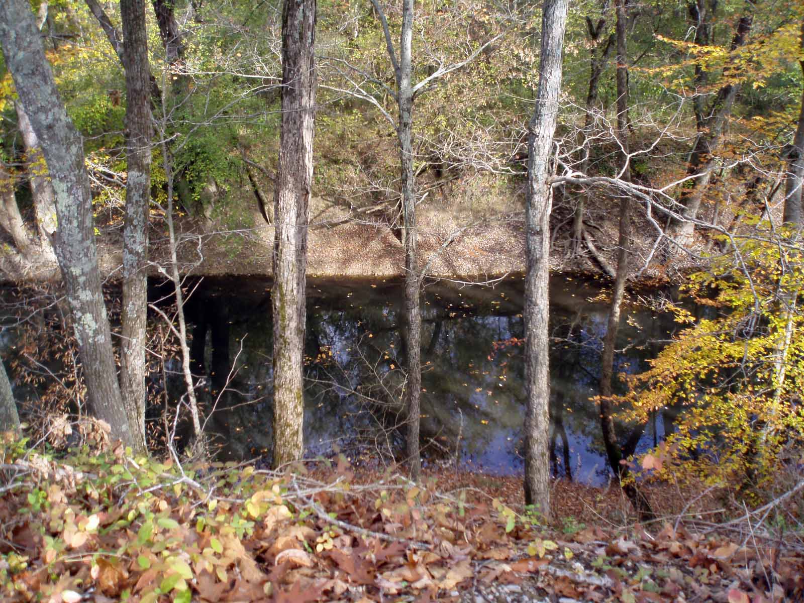
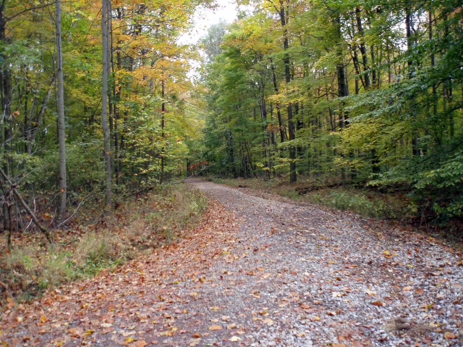

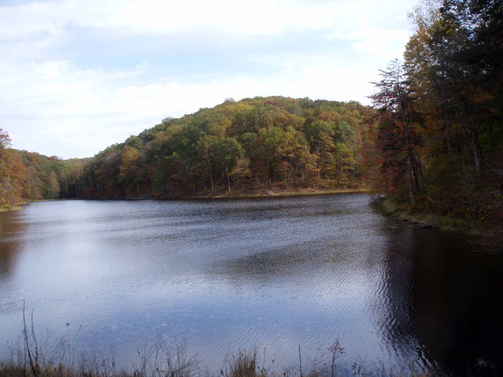

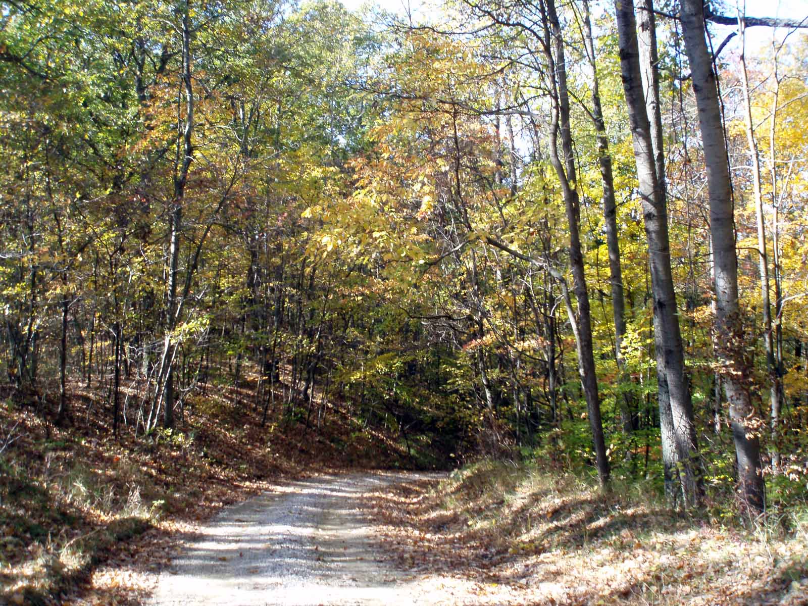
Crooked Creek starts out gravel, but I was able to climb the 265 feet up to the ridge, spitting stones backwards in a couple spots. I rode through the quiet forest ridgetop for a while, then came rumbling down into the valley, and stopped for a break at Crooked Creek Lake. The road is 5.4 miles long, and where it runs through Yellowwood Forest, the road is gravel, but where there are homes along the side of the road, the county does a good job of paving, I’d say less than 2 miles are paved, you leave and enter the forest several times.
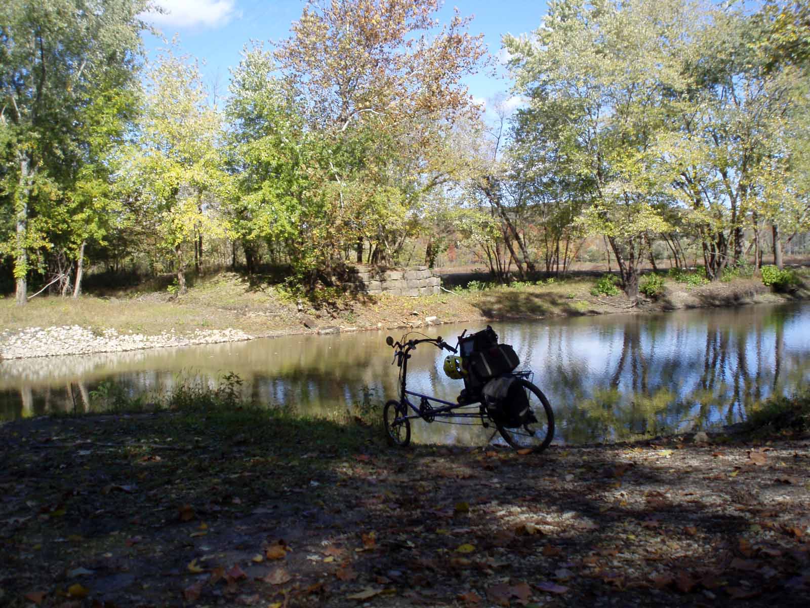
When I got to the boat ramp (where Crooked Creek becomes TC Steele Rd.), I found a little road that crossed the creek, and looking down stream I spotted some canoes and a yak. I took a quick picture, and gazing the boats heading downstream, and thought to myself: “How many canoers have straight brown hair all the way down their back?” and answered my own question by hollering “Hey Brian”, and yep it was Brian Richwine.
It was a much shorter ride up TC Steele to Gilmore Ridge, and it was early afternoon, so I decided to take the long way home, via Gilmore Ridge and McGowen Rd. This is the steepest of hill that I’ve found, all gravel, and then it runs through the heart of the forest east of Pine Grove. This video give you an idea of how narrow, steep and rocky they hill is.

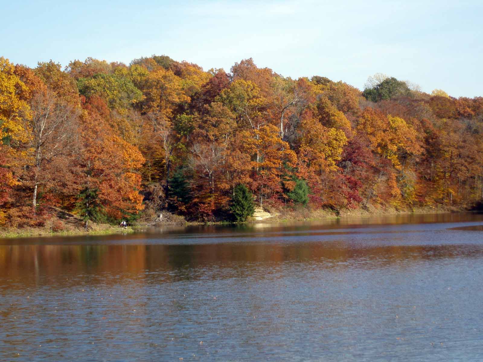

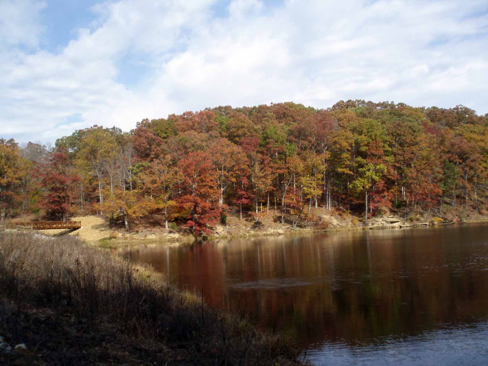
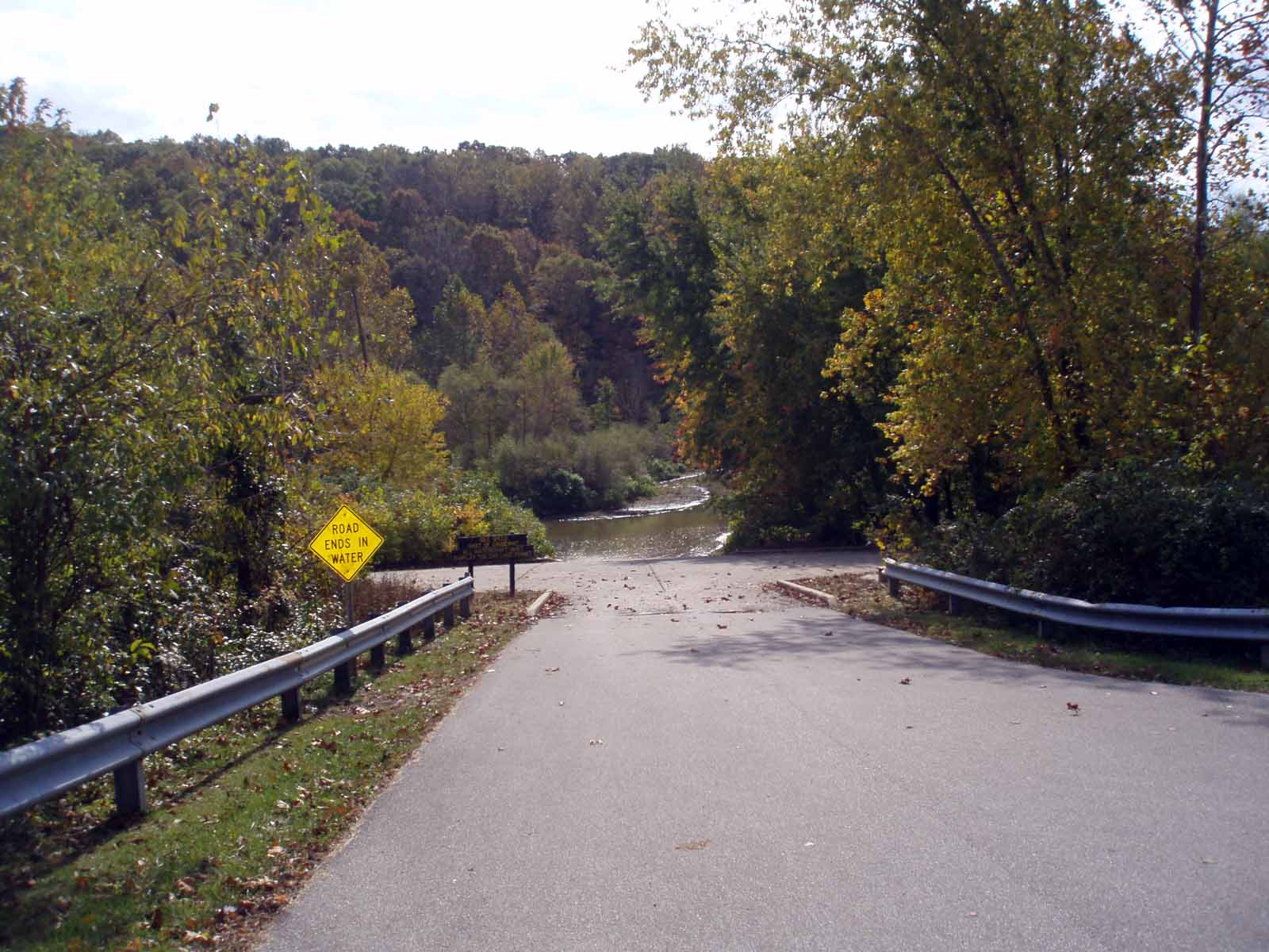
The road then runs through the marsh flats along Salt Creek north of the lake. I got to explore this area twice this year (you aren’t allowed in October through May), and it is amazing!
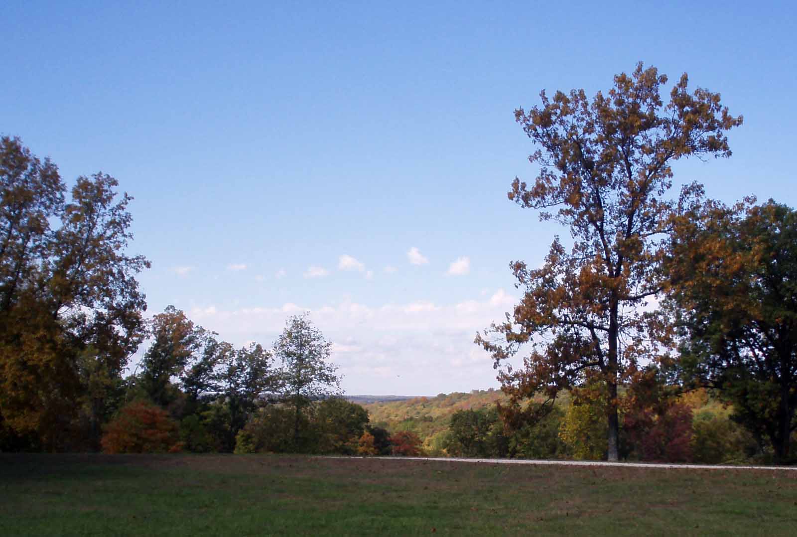
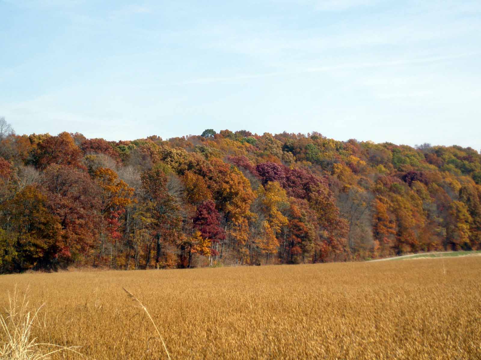
Nature Journal: The trees are still mostly green, a lot of yellow, but very little red or brown yet. I saw hawk (buteo) in the salt creek valley, and a really big pileated woodpecker on Crooked Creek, I recognized the call, and so stopped and scanned the trees till he/she flew to another tree, showing its characteristic black wings with a white underneath and red plumed head. This one was bigger than most crows, quite the specimen.


